Ground Control
Follower
Integrate sensor data to guide UAVs in following detected objects
Ground Control Follower is a Desktop application that enables efficient UAV guidance based on real-time sensor data.
It acts as the bridge between detection systems and UAV.
How It Works

System
Receives Data
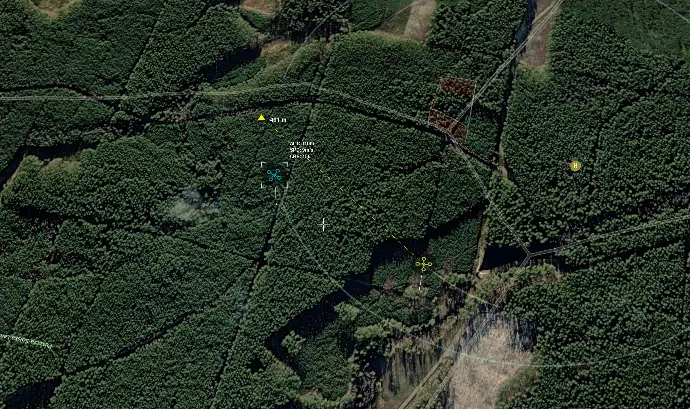
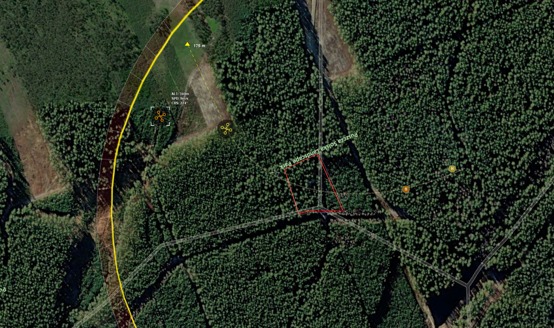
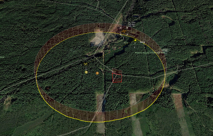
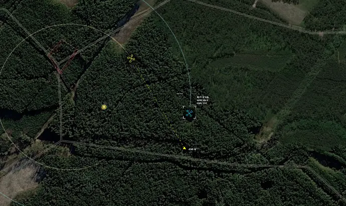
System gathers and refines information about aerial objects from integrated sensors or systems using standardized protocols and displays the data on a 3D map

Operator
Selects Object of Interest
Operator assesses the visualized data, identifies the object of interest, and selects the appropriate following mode for the UAV

System
Guides UAV
System automatically guides the UAV to establish visual contact with the object, using the most efficient path based on the selected mode
Key Features
Picture Management
Automatically filters and cleans outdated information to highlight only actionable insights
Multiple Following Modes
Provides various modes to precisely follow objects, whether trailing or approaching them
Enhanced Object Positioning
Refines positioning of aerial objects, ensuring accurate and stable monitoring under various conditions
Data Integration
Integrates with various data sources using
standardized protocols
Multiple Detection Sources
Processes data from numerous detection sources simultaneously,broadening area coverage
Detailed Post-Analysis
Records and replays data for post-activity review
High-Quality 3D Visualization
All UAV operations are supported
by a high-quality 3D map
Multi-UAV Management
Operates with multiple UAVs simultaneously, enabling following of the multiple aerial objects at once
Aerial Following
Our software can enhance Aerial Following operations by providing real-time, data-driven UAV guidance, improving the accuracy, responsiveness, and efficiency of aerial threat detection and management.
This ultimately strengthens the security of critical infrastructure, corporate assets, public events, and other sensitive environments.